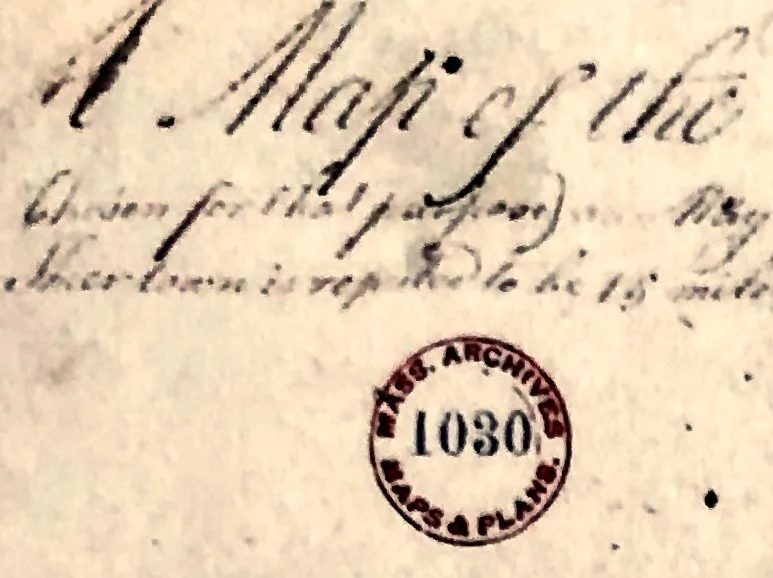
In 1694 “The Satucket Lands” as they were then called were incorporated as the Town of Harwich. They ran from Namskaket Marsh (then the bound for Eastham) to Quivet Creek (then the bound for Yarmouth) and from “sea to sea” (Nantucket Sound to Cape Cod Bay). This 1795 map shows Harwich before the 1803 divide separating Brewster from Harwich.
The map on display in the Cobb House Museum is a high resolution print of Maps & Plans #1030 made by the Massachusetts Archives. The orientation of the original hand drawn map is the north at the bottom and south at the top.
BHS 2016.1.1
Map given in memory of Suzanne Foster by Teresa Lamperti and Dan Guertin


